Hydrologic
CREST
Coupled Routing and Excess STorage — a distributed model for continental-scale rainfall–runoff, powering global flood-monitoring and real-time flash-flood systems. The Flood Lab is a core contributor.
Li's Flood Lab · University of Colorado Boulder
We advance the scientific understanding and practical mitigation of floods through remote sensing, physics-based modeling, and AI — delivering accurate, timely information for the good of the community.
The mission
We study surface water across scales — local, continental, and global — to predict and monitor floods before they arrive.
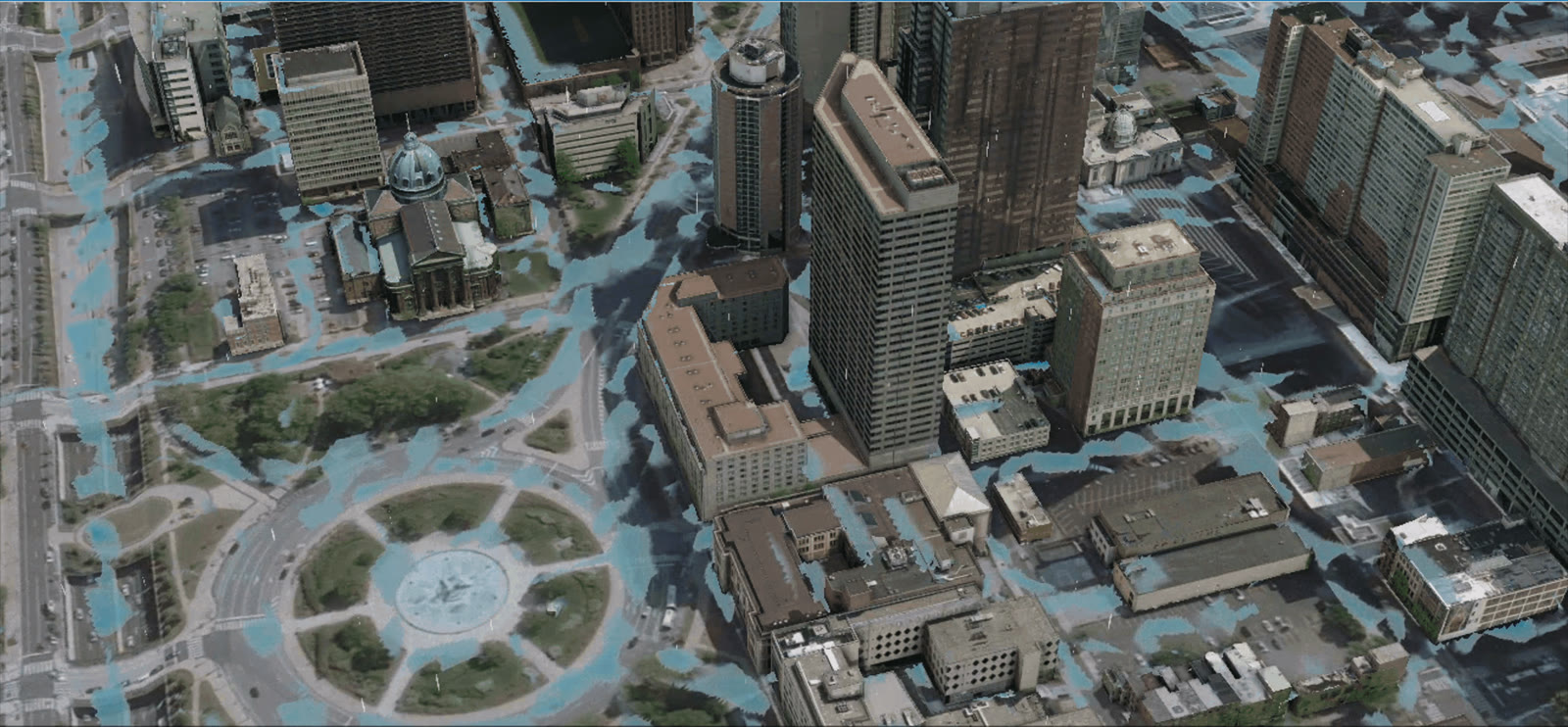
Floods are the costliest natural hazard on Earth, and they are growing flashier and less predictable. Our lab couples remote-sensing platforms with AI-integrated hydrologic–hydraulic models to close the gap between raw observations and actionable warning.








The research framework
Open models
Our models transcend catchment-scale hydrology to reach hyper-local hydraulics — turning water into flood. From the CREST lineage to the GPU-native Inunda, the Flood Lab is one of the core contributors to each. “All models are wrong, but some are useful.”
Coupled Routing and Excess STorage — a distributed model for continental-scale rainfall–runoff, powering global flood-monitoring and real-time flash-flood systems. The Flood Lab is a core contributor.
A vectorized CREST that improves the efficiency and accuracy of streamflow simulation across scales.
CREST-inundation MApping and Prediction — a coupled hydrologic–hydraulic model for 2D flood prediction, uniting streamflow and inundation in one pipeline.
The Ensemble Framework For Flash Flood Forecasting — multiple water-balance and routing schemes for operational flash-flood prediction. The Flood Lab is a core contributor.
High-resolution flash-flood nowcasting with an open benchmark dataset — turning real-time inputs into fast, actionable inundation forecasts.
A GPU-native, agent-enabled, differentiable hydrologic–hydraulic flood inundation model. Run a flood inundation model, fast — anywhere on the globe.
Open data
From a century of observed U.S. floods to simulation-grade benchmarks for AI — data the community can build on.
Remote sensing, stream gauges, flood reports, and crowdsourcing harmonized into one of the most comprehensive flood records in the United States.
42,466 NOAA flash-flood episodes (1996–2025) traced to gauges and watersheds: observed USGS hydrographs, high-water marks, 2-minute MRMS rainfall and terrain, with a 21-testbed primary benchmark for model intercomparison.
Physics-based, simulation-grade flood inundation truth for training and evaluating the next generation of AI flood models.
Agent benchmarks
We build the evaluations that answer it. Two benchmarks test LLM agents on real hydrologic modeling — wrangling data, configuring simulators, calibrating, and verifying results end to end.
An expert-level exam for scientific agents: end-to-end hydrologic modeling tasks that demand reasoning, tool use, and domain judgment.
Real scientific computing in real terminals — agents drive models from raw data to verified simulation, graded automatically.
Open initiative from the lab
HydroTuring asks one question of any AI hydrologic model — not whether it reproduces a hydrograph, but whether the physics it claims still holds. It is built in the open, and it grows only as fast as the physics people bring to it.
A model passes only when every criterion of every probe passes: its water budget closes, its energy budget closes, its routing conserves momentum. The verdict is one bit, and everything beneath it stays quantitative — so a model that leaks 6% and one that leaks 40% are told apart long before either crosses the line.
A benchmark that only checks closure is trivially gamed, so deliberately broken models live in the repository to prove it. No probe is merged until it passes an exactly conservative model and catches the broken ones it names.
Failing is not one thing either. A model that reported its budget and did not close it has violated conservation; one that never reported enough to be checked has only declined to be falsifiable — and that is where nearly every published rainfall–runoff model sits today.
Fourteen probes are merged today — twelve mass, one energy, one momentum — and the roadmap lists seventeen more, all unclaimed. If you have spent time with a conservation law that AI models get wrong, that law is a probe, and we would rather have it from you than approximate it ourselves.
Every published rainfall–runoff model, every LSTM, every foundation model with a hydrologic claim is in scope, and a model that fails is worth proposing. You do not need to be able to package it yourself — say so on the form and the packaging is assigned to someone who can.
One merged probe earns co-authorship on the benchmark paper. So do five accepted model proposals.
Questions, probe ideas, a model you would like evaluated, a tolerance you think is wrong — the HydroTuring Discord is where that conversation happens, before and alongside the issues. You do not need to be invited, affiliated, or known to us.
The team
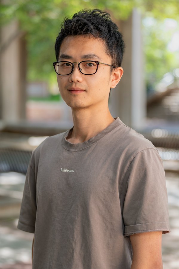
Dr. Z is an Assistant Professor at the University of Colorado Boulder. Previously he was the Stanford Doerr School of Sustainability Dean's Postdoctoral Fellow (2023–2025). He earned his PhD (2022) from the University of Oklahoma, with Master's and Bachelor's degrees from the National University of Singapore (2019) and Hohai University (2017).
He studies surface water across scales — spatially (local, continental, global) and temporally (hydrology, hydrometeorology, hydroclimatology) — focusing on flood prediction and monitoring with remote-sensing platforms and AI-integrated hydrologic–hydraulic models. He has published 50+ peer-reviewed articles and one invited book chapter. He is an Editor for Journal of Hydrology X and an Associate Editor of the Journal of Applied Meteorology and Climatology, and serves as a reviewer for 10+ international journals.
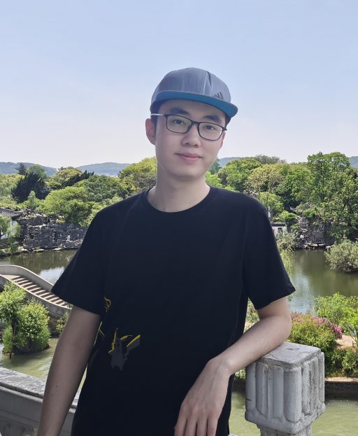
Ke Zhu is a doctoral student at the University of Colorado Boulder. He earned his Master's degree (2025) from Southeast University (Civil & Hydraulic Engineering), directed by Prof. Qian Zhu, and his Bachelor's (2022) from Hohai University (Water Science & Engineering). His prior research focused on improving hydrologic models; he now studies the application of foundation models to flood identification.
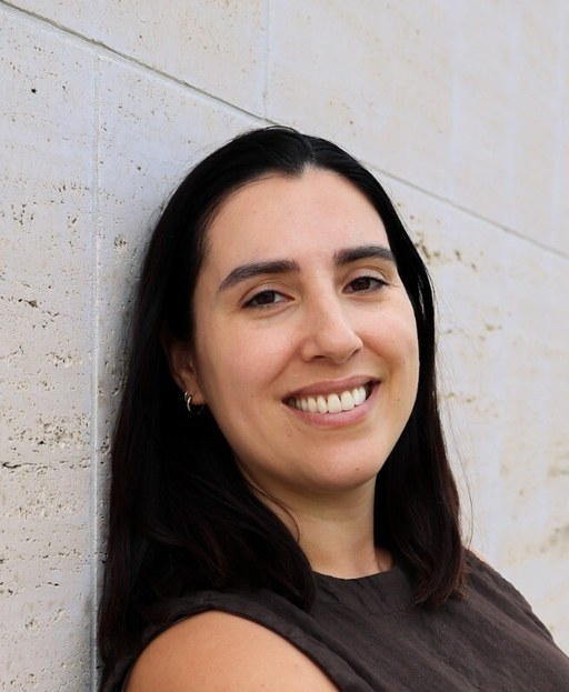
Katie Miller is a doctoral student at the University of Colorado Boulder. Her research focuses on using remote sensing to assess socio-environmental vulnerability to flooding. Prior to her PhD, she served as a Lead with NASA's DEVELOP Program, where she led interdisciplinary projects using NASA Earth observations to support environmental decision-making. Katie holds a bachelor's degree in Political Science (UC Berkeley) and master's degrees in Supply Chain Management (Erasmus University) and Sustainability Science (University of Gävle).
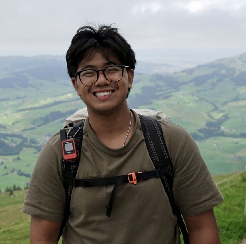
Chris Leong is a graduate student at the University of Colorado Boulder. His research focuses on enhancing remote sensing products for flood inundation and wetland dynamics under drought–flood conditions. He earned his Bachelor's degree (2024) in Earth Systems Science (ESS) from the University of California, Irvine, where he collaborated in research pertaining to atmospheric chemistry and hydrology.
Our work is built with wonderful collaborators, including Prof. Yang Hong (Univ. of Oklahoma), Jonathan J. Gourley (NOAA/NSSL), Steven Gorelick (Stanford), Pierre Kirstetter, Mengye Chen, Shang Gao, Yixin Wen, Siyu Zhu, Songkun Yan, Guoqiang Tang, and Tiantian Yang.
In the classroom
Bridging environmental engineering, data science, and AI for the Earth system.
An undergraduate course on hydraulic engineering theory and practice: incompressible flow in conduits, pipe system analysis, open channel flow, flow measurement, and hydraulic machinery — built around four labs and a semester-long water distribution design project.
A graduate course (AI4ESSE) on machine learning for hydrology, remote sensing, and the geosciences: from data pipelines and physics-informed models to responsible deployment on real Earth-system problems.
CVEN 3323 · Fall 2026 · CU Boulder
This course studies hydraulic engineering theory and its applications. Topics include incompressible flow in conduits, pipe system analysis and design, open channel flow, flow measurement, and the analysis and design of hydraulic machinery. Lecture material is reinforced by four laboratory experiments and a semester-long project in which students design a water distribution system for a small community using EPANET.
Upon successful completion of this course, students will be able to:
To contact the professor or TA outside of class and office hours, please use Canvas Mail. Email sent directly to campus addresses may not be answered. Weekday email receives a response within 24 hours; email is not answered in the evenings or on weekends.
| No. | Main Topic | Items |
|---|---|---|
| 1 | Fluid Properties and Measurement Uncertainty |
|
| 2 | Hydrostatics |
|
| 3 | Conservation Principles in Pipe Flow |
|
| 4 | Friction and Energy Losses in Pipes |
|
| 5 | Water Demands and Storage |
|
| 6 | Pipe Systems and Networks |
|
| 7 | Pumps and Hydraulic Machinery |
|
| 8 | Open Channel Flow |
|
| 9 | Flow Measurement and Varied Flow |
|
| 10 | Water Distribution System Design |
|
Eight Canvas quizzes of roughly eight multiple-choice questions each, testing conceptual understanding of the previous week’s material. The highest six scores count toward the final grade, and you have three attempts at each. Released Thursdays at 5 PM and due Tuesdays at 5 PM. Concept Checks must be done individually. Some include FE (Fundamentals of Engineering) Exam practice questions.
Six assignments covering 23 problems, worth 20 points each. Homework is due Thursdays at 5 PM and submitted on Canvas as a PDF. The homework grade is calculated out of 414 of the 460 possible points, so earning 90% of the points earns full credit; any points above 414 are extra credit.
Problems must be written as professional engineering calculations: sketch, equation in symbolic form, parameter values with units, stated assumptions, equation with numbers substituted in, units carried through every step, and a circled final answer with appropriate significant figures. Solutions that do not carry and cancel units in every step receive no credit. You may discuss assignments with classmates, but what you submit must be your own work.
All students must be registered for a lab section. Four experiments run through the semester; reports may be written individually, with the full lab group, or with any subset of it.
| Lab | Experiment | Report Due |
|---|---|---|
| Lab 1 | Boulder Creek | Tuesday, September 15, 5:00 PM |
| Lab 2 | Measurement Error | Tuesday, September 8, 5:00 PM |
| Lab 3 | Friction Losses in Pipes | Tuesday, October 6, 5:00 PM |
| Lab 4 | Weirs | Tuesday, December 1, 5:00 PM |
All students design a water distribution system for a small community, in two parts:
Both midterms are held in person, in the regular classroom during class time. You will be provided with the Textbook Resources booklet; no other materials are permitted, though you may use a calculator. Exam dates are fixed even if the content shifts.
| Component | Weight |
|---|---|
| Concept Checks (8 total, lowest dropped) | 7% |
| Homework Assignments | 10% |
| Midterm Exams (2 total, 20% each) | 40% |
| Design Project — Default Design | 15% |
| Design Project — Final Design | 16% |
| Laboratory Reports (4 total, 3% each) | 12% |
Grades are assigned on the scale below. There is no curve.
All grades are posted on Canvas. Questions about grading must be submitted to the Canvas assignment “Grading Questions” within one week of the grade being posted, with the problem clearly identified and a written explanation; all grades are final one week after posting.
Everything needed to complete the assignments is provided on Canvas: the Textbook Resources document, solutions to in-class examples, lecture recordings, lab documents, and project documents. Some problems deliberately ask you to apply concepts in ways you have not seen before — an important part of engineering training. You are encouraged to avoid using AI on all assignments in this course. If you do use it, you are required to identify which parts of the assignment were completed with AI and to explain why you needed it instead of the resources provided for the class.
Following the expectations of the engineering profession — see the ASCE Code of Ethics and the NSPE Code of Ethics — any assignment you submit must be entirely your own work. On group assignments, everyone named must have contributed, and everyone who contributed must be named or acknowledged. All students must sign the Academic Integrity Policy on Canvas before submitting any assignment.
You are permitted to get help from the professor and TAs, discuss assignments with classmates, and consult the textbook, Canvas resources, and other textbooks. You are not permitted to copy another person’s work, share your work for someone else to submit, use solutions manuals, use or post to sites such as Chegg and CourseHero, or give or receive help on exams. Anything not listed is not permitted unless you are told otherwise. Suspected violations go to the Honor Board and may carry sanctions from a zero on the assignment to an F in the course.
Students who need exam accommodations should provide official documentation to Prof. Li at least two weeks before the exam so there is time to arrange them. If you must miss an exam for a legitimate reason, such as a religious holiday or job interview, make arrangements with Prof. Li beforehand.
CVEN 5833 · Spring 2026 · CU Boulder
This course explores the application of artificial intelligence and machine learning techniques to problems in Earth System Science. Students will learn how modern AI methods can be applied to analyze, model, and predict complex Earth system processes including climate dynamics, hydrology, atmospheric science, and environmental monitoring.
Upon successful completion of this course, students will be able to:
| No. | Main Topic | Items |
|---|---|---|
| 1 | Introduction to Programming Language and AI & Earth System Data |
|
| 2 | Supervised Learning and Regression |
|
| 3 | Classification and Non-Linearity |
|
| 4 | Model-Based and Non-Parametric Methods |
|
| 5 | Deep Learning Fundamentals |
|
| 6 | Convolutional Neural Networks (CNNs) for Spatial Data |
|
| 7 | Recurrent and Sequence Models |
|
| 8 | Graph and Generative Models |
|
| 9 | Advanced Sequence Modeling |
|
| 10 | Foundation Models in Practice |
|
| 11 | Societal Impact & Ethics |
|
Due Date: TBD
Due Date: TBD
TBD
Due Date: TBD
TBD
Due Date:
Comprehensive project applying AI methods to an Earth system science problem...
| Component | Weight |
|---|---|
| Assignments | 40% |
| Midterm Exam | 25% |
| Final Project | 30% |
| Participation | 5% |
Assignments submitted after the due date will be penalized 10% per day late, up to a maximum of 3 days. After 3 days, assignments will not be accepted without prior approval from the instructor.
All work submitted must be your own. Collaboration on assignments is allowed up to the point of sharing code or solutions. Any violation of academic integrity will be reported to the Honor Code Council.
Students with disabilities who need accommodations should contact Disability Services and inform the instructor as early as possible in the semester.
Peer-reviewed · 50+ articles
The full peer-reviewed list — newest first, with the lab author highlighted. The citation trajectory below is tracked via Google Scholar.
Science stories
Gallery of the model simulation and scientific communication.
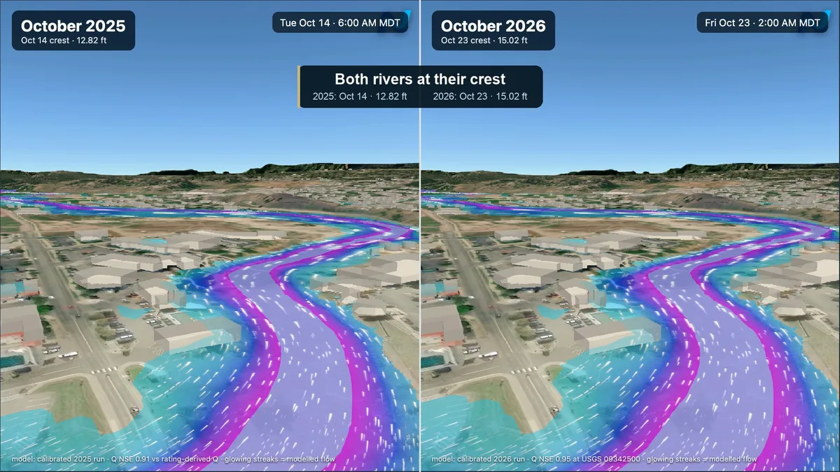 Oct 25, 2026
Two Inunda simulations of the October 2025 and October 2026 floods at Pagosa Springs reveal the differences of two flood events.
Open the story →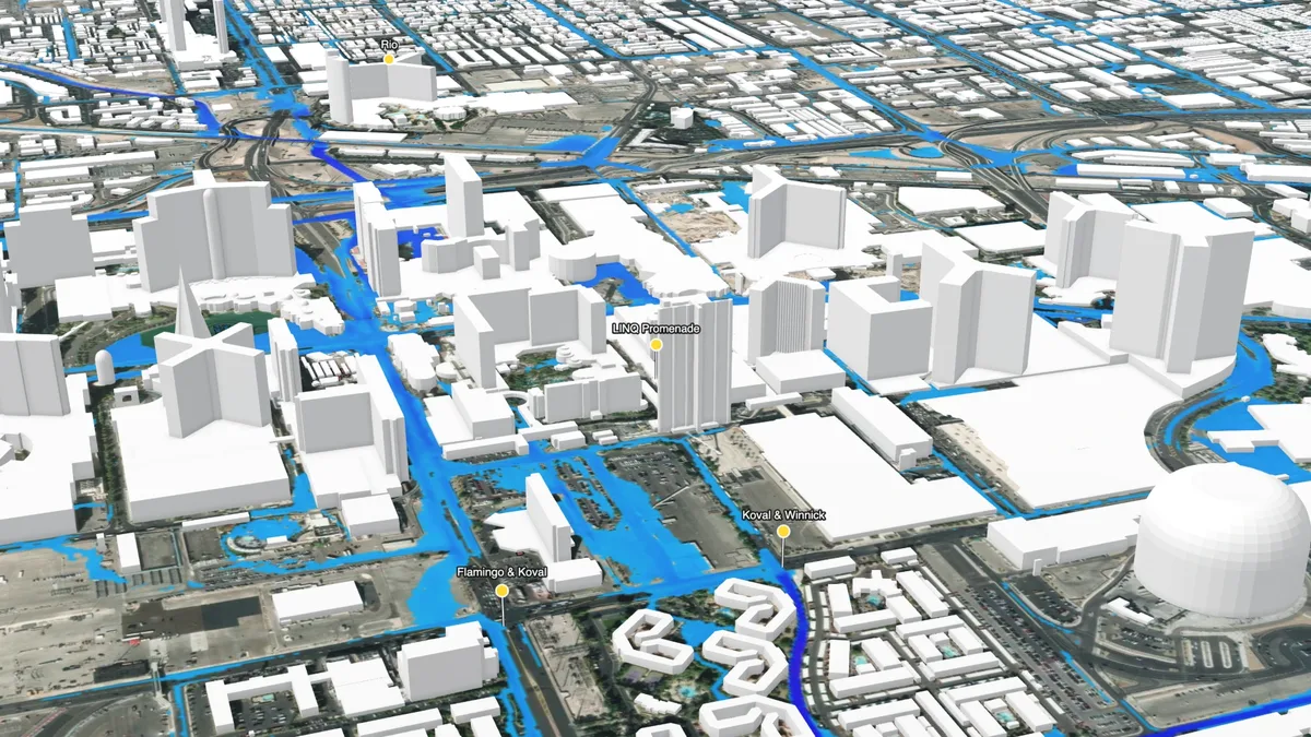 Oct 16, 2026
How the remains of Hurricane Rachel flooded Las Vegas streets before dawn on 11 October 2026, rebuilt with the Inunda flood model at 3 m over the urban core and checked against rescue reports.
Open the story →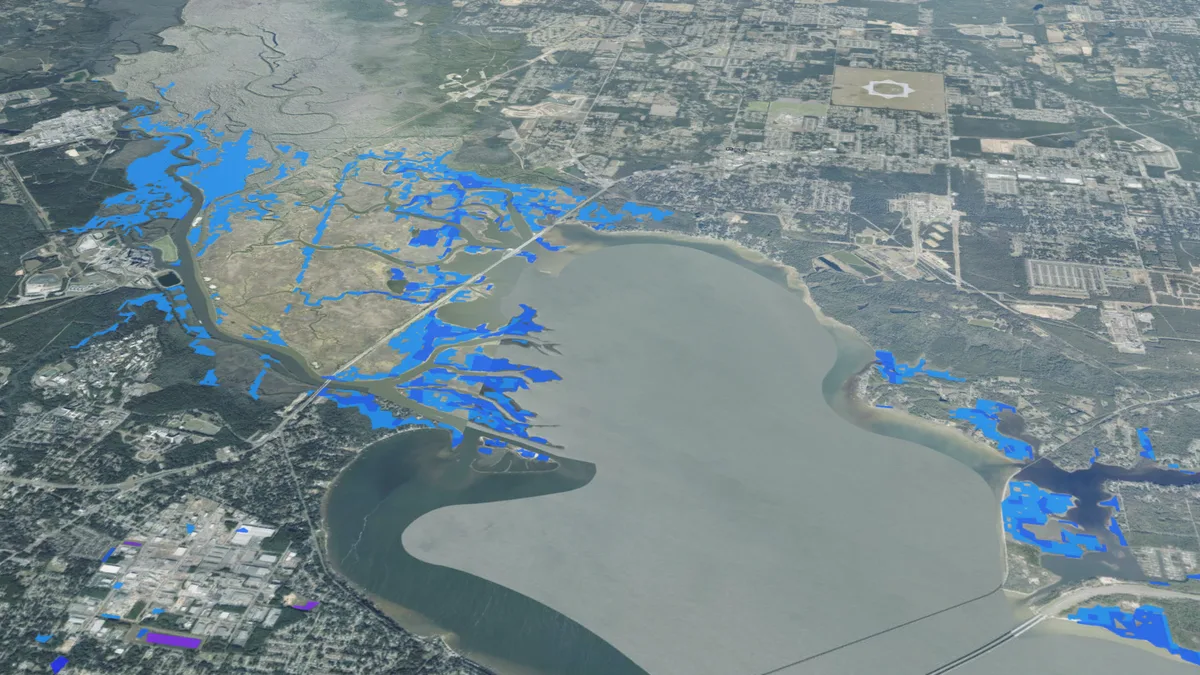 Oct 9, 2026
Google WeatherNext 3 rain and tracks, NOAA storm surge and river forecasts, and the Inunda 30 m flood model. Experimental research forecast issued 9 October 2026, ~23 UTC; not an official warning.
Open the story →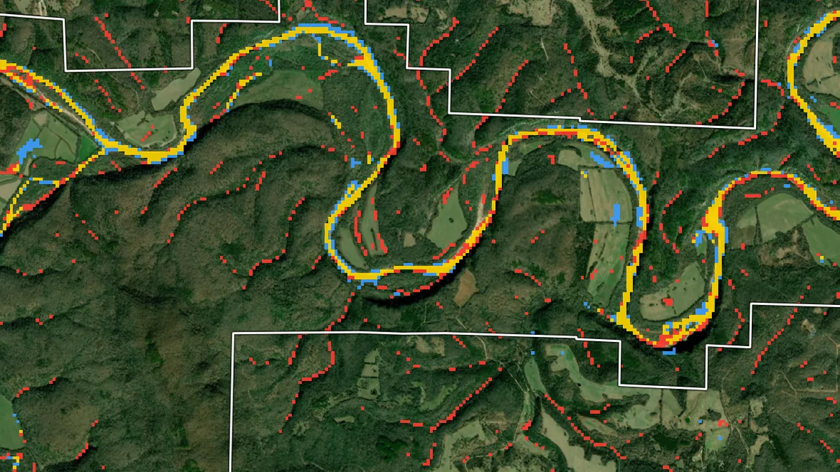 Oct 6, 2026
SWOT water-surface elevations and OPERA flood extent can test a flood simulation in a park that FEMA never mapped. Each has blind spots, and only together with ground gauges do they constrain the model.
Open the story →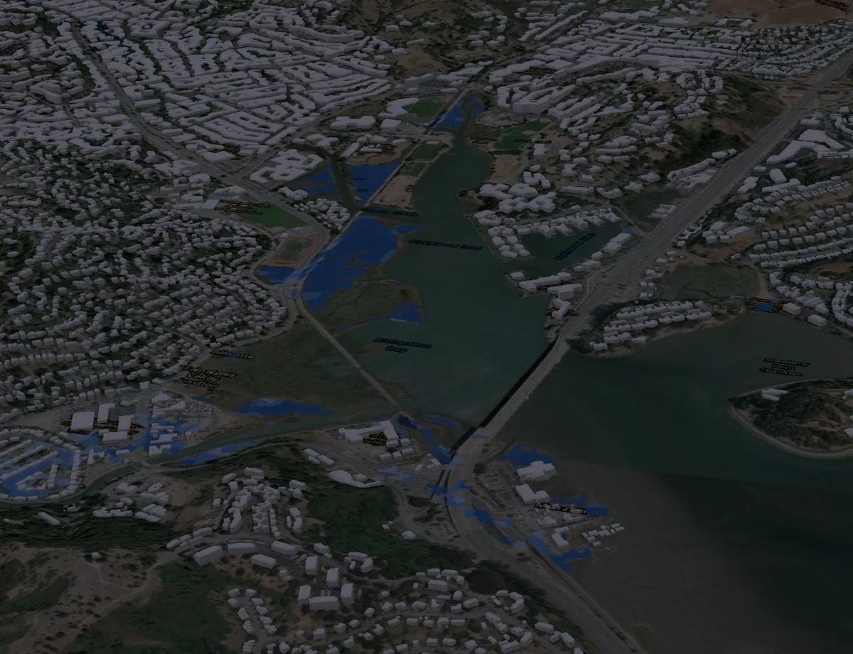 Oct 4, 2026
How the 2026 El Niño Kelvin wave is raising San Francisco Bay tides, and where the Inunda flood model puts that water on land this fall.
Open the story →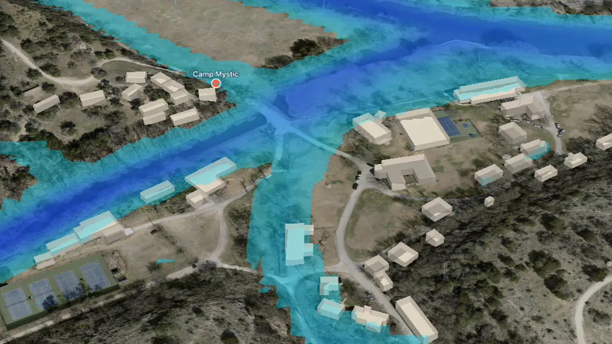 Aug 1, 2026
A 10 m flood simulation of the Guadalupe headwaters, turned hour by hour into evacuation judgments by a judgment model (TypeSafe Jev), then checked against the gauge that recorded the flood.
Open the story →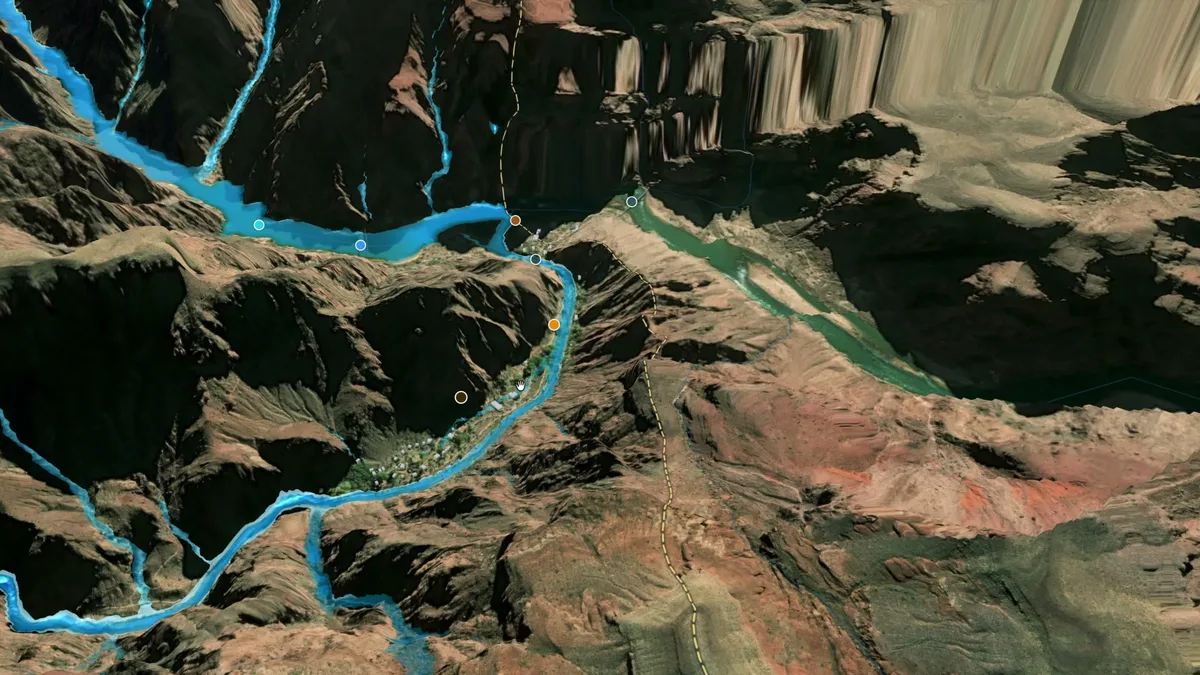 Sep 1, 2026
Rebuilding the August 29, 2026 flash flood on Bright Angel Creek, Grand Canyon National Park, with the Inunda flood model.
Open the story →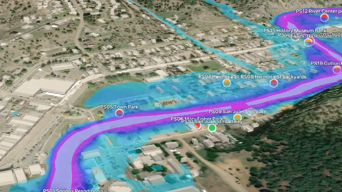 Oct 11, 2025
A 10 m Inunda simulation of the October 2025 flood, the third largest on record at Pagosa Springs, checked against the river gage and the places people reported under water.
Open the story →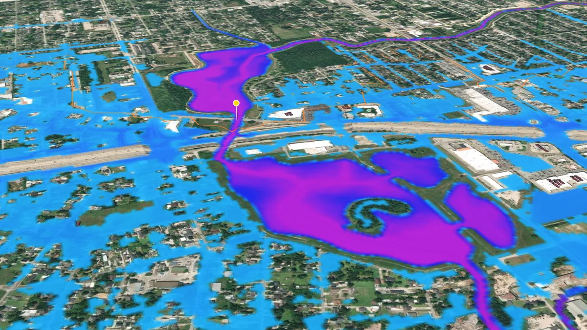 Jul 8, 2024
Modelling Hurricane Beryl and the 2022 and 2024 floods in north Houston at 10 m with Inunda, and checking the model against the stream gage.
Open the story →Join us
Please read the lab manual before you consider joining us. There are no grant-supported openings right now, but I strongly encourage you to pursue these fellowships — I'm glad to support strong applications.
News archive